Is Earth Realtime free?+
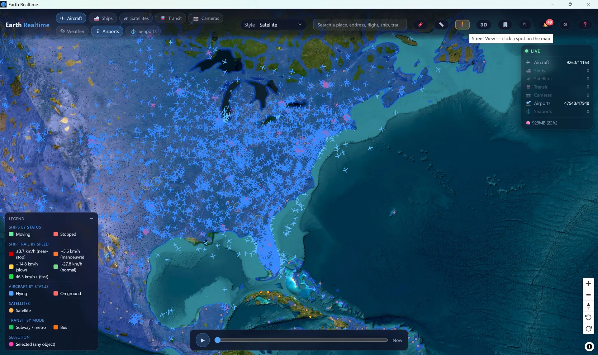
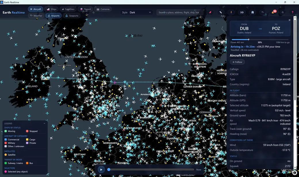
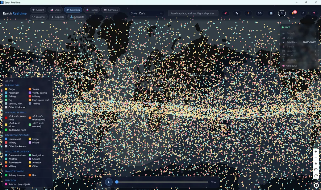
Yes. The free tier is a genuinely useful live tracker: one live layer at a time (aircraft or satellites), with basic object details, route lines, day/night shading, basic “now” temperature and precipitation, and search. Cameras, the full weather stack, 3D and the rest of the toolkit are in Advanced ($39/year, or $4.99 month-to-month, works on 2 devices), and Premium ($79/year, or $9.99 month-to-month, works on 3 devices) adds always-on monitoring, alarms, geofences, recording and time travel. There's a 7-day free trial of full Premium, built into the app, no card required, and it drops back to the free tier afterwards.
Do I need API keys?+
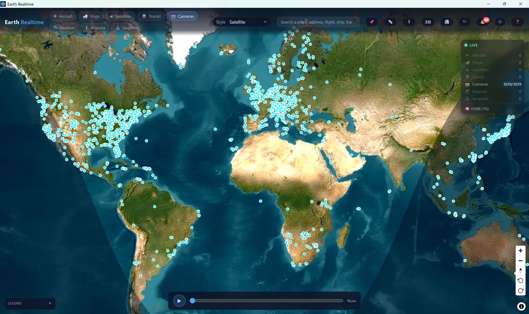
No. Aircraft, satellites, weather (active fires included), most transit and tens of thousands of road cameras all work out of the box. Keys only
add things, they are free unless noted, and each one is optional:
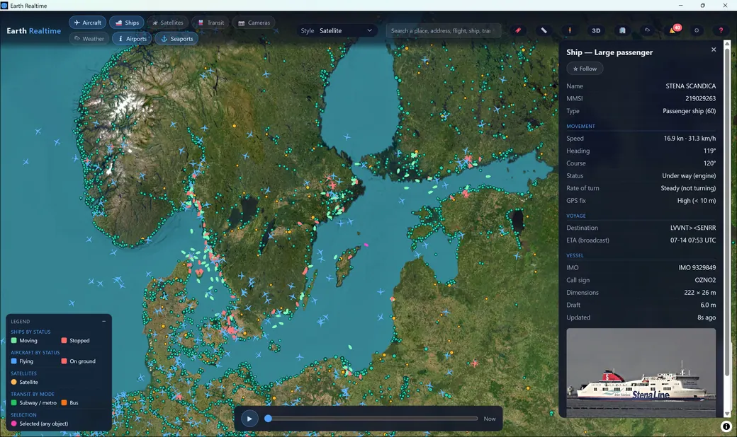
AISStream for global ship AIS,
OpenSky for a higher aircraft rate limit,
NASA FIRMS for a direct-from-NASA fire feed on your own quota,
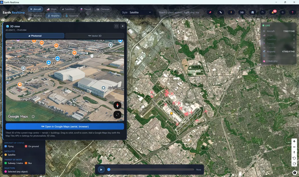
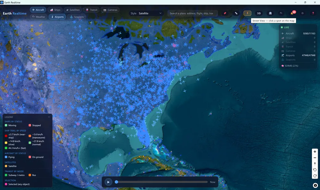
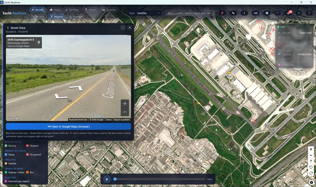
Google Maps for photorealistic 3D and live Street View tracking,
Space-Track as a satellite backup, a per-agency transit key for a handful of networks, and four road-camera agencies (below). There is also an optional
paid commercial ADS-B slot (AirNav RadarBox, FlightAware AeroAPI or ADSBExchange) for the receiver deserts the free networks cannot see, flagged Experimental in the app. Step-by-step signup for every one is in the
help manual. Keys are yours, stay on your machine, and are never sent to us. Earth Realtime is a client tool that connects on your behalf under your agreement with each provider.
What are the “keyed” camera agencies?+
Most of the road-camera network arrives for everyone. Four agencies publish equally good feeds but hand out free credentials per person, so you register your own and the app fetches them directly:
Trafikverket (Sweden),
Statens vegvesen (Norway, ~900 cameras incl. 147 live video),
UTIC (South Korea, ~11,200 live video cameras) and
netraveldata (North East England, 378 cameras, where your site login
is the credential, no API key at all). All four are free, and the
help manual walks through each signup. Keyed cameras ride the camera layer, so they need Advanced or Premium.
Is my data private?+
Yes. The app collects no personal information. Your API keys and preferences stay on your device, and licensing stores only an anonymous license hash and machine fingerprint, with no emails or payment details, which live only with our payment processor.
Where does the data come from?+
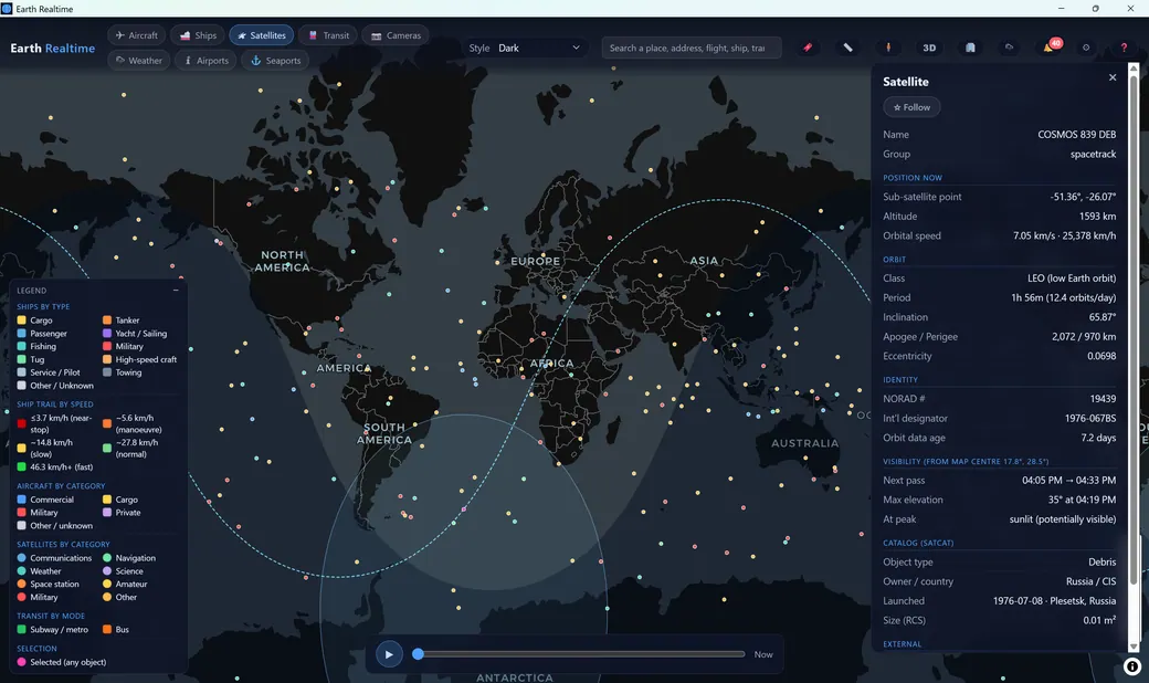
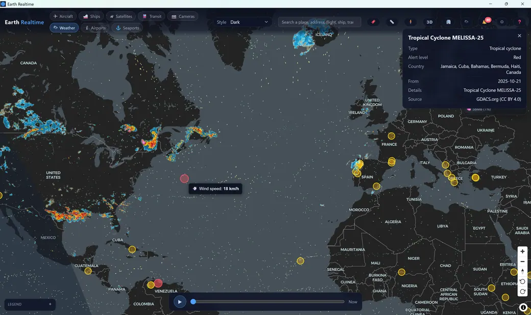
Dozens of live, open feeds: ADS-B for aircraft, AIS for ships, CelesTrak two-line elements for satellites, GTFS-Realtime for transit, Open-Meteo and RainViewer for weather and radar, GDACS and USGS for disasters and earthquakes, curated live streams plus official road cameras published by government transport agencies under open licences, radiosonde weather balloons, and OpenStreetMap-based basemaps, all fused on-device. Where an agency requires attribution, the app renders its notice under Settings → About.
How does worldwide emergency monitoring work?+
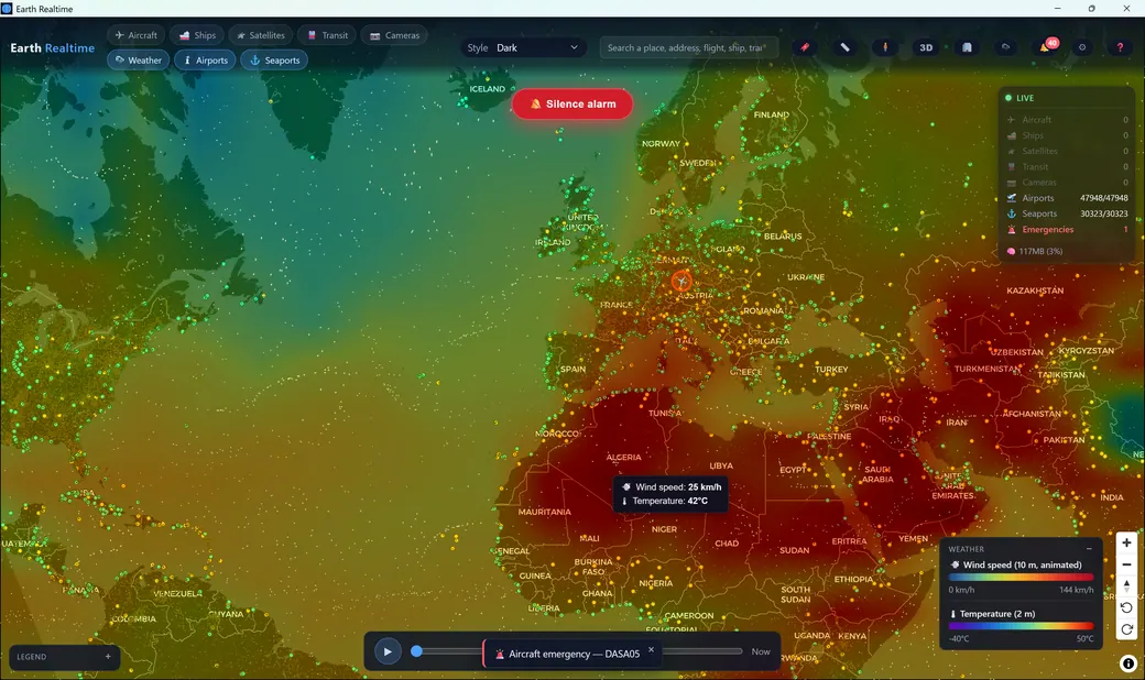
It covers both the skies and the seas. Aircraft squawking 7700, 7600 or 7500 are caught by a lightweight worldwide sweep, even when the Aircraft layer is switched off, beyond your render cap, off-screen, or hidden by a filter. Ships broadcasting an AIS-SART distress signal are surfaced globally while the Ships layer is on. Either way, distress is pinned on the map with a pulsing halo, past any cap, zoom or filter. The worldwide sweep and that on-map halo run on every tier, including Free: an emergency is never hidden behind a paywall. Being notified is the paid part: Advanced raises an on-screen emergency notification and files it in your alert history, and Premium adds the audible alarm and the global emergency dashboard that lists every active emergency on Earth in one place.
What is “last-seen history”?+
It is the answer to “where did it go dark?”. When an aircraft stops broadcasting (transponder off, a receiver dropping out, open ocean) or a ship’s AIS goes quiet at anchor, Earth Realtime keeps the last position it heard and draws it in
grey instead of deleting it. You choose how far back the map looks, separately for aircraft and ships: Off, 1 hour, 6 hours, 24 hours, 3 days, 1 week, 1 month, 6 months, 1 year or 3 years. How far you may reach is your plan:
Free 6 hours,
Advanced 1 month,
Premium 3 years. The archive is a small file
on your own machine, never uploaded, capped in size and aged out automatically, and a wider window costs no extra memory, it only moves the cutoff. A retained position is history, never live: it raises no alarm, extends no trail and is never guessed forward. It is not recording. It is where each object was last heard, and how long ago. More in the
help manual.
What are the system requirements?+
A 64-bit Windows 10 or 11 PC with 4 GB of RAM (8–16 GB recommended if you want the highest render caps), a GPU with WebGL support, about 60 MB of disk space plus room for any recordings you keep, and Microsoft WebView2, which the installer adds automatically if your PC does not already have it. Earth Realtime tunes its memory use to your available RAM, so higher render limits are only as heavy as your machine allows. An internet connection is required to run the app: every layer is streamed live, so without a connection there is nothing to show. The built-in manual is the only part that works offline.
How do I upgrade or manage my subscription?+
Everything happens inside the app under the Help menu: see your tier and days remaining, start the 7-day full-Premium trial, and open secure checkout or the customer portal. Each plan activates on a set number of machines (1 free · 2 Advanced · 3 Premium), and you can free a slot with Deactivate this machine before moving to another computer. Advanced is $39/year or $4.99 month-to-month; Premium is $79/year or $9.99 month-to-month. Billing, invoices, taxes and renewals are handled by Lemon Squeezy (a Stripe company), our merchant of record.
Which platforms are supported?+
The Windows 10/11 (64-bit) build is available now. Get it from the
download page, which also lists the current version, its checksum and what changed. macOS, Linux and mobile builds are on the roadmap.